Conclusion
Responsible forest management requires a clear understanding of how forestry operations impact land cover and biodiversity; monitoring can help identify opportunities for improvement.
In this report we describe the current status of land cover and biodiversity in Norbord’s Northern and Southern Operating Areas. Results of note include:
- As of 2018, the total human footprint was 8.8% and 30.6% in the Northern and Southern Operating Areas, respectively. Forestry was the largest human footprint followed by energy footprint. Total human footprint increased by 4.7 percentage points and 17.8 percentage points in the north and south, respectively, between 2000 and 2019; these increases were driven by the creation of forestry footprint.
- Linear footprint density (circa 2018) was estimated to be 3.23 km/km2 in the Northern Operating Area and 3.48 km/km2 in the Southern Operating Area. Conventional seismic lines were the predominant line type on both landbases.
- Overall, 91.2% and 69.4% of the Northern and Southern Operating Areas, respectively, are composed of native habitat with a 0 m buffer from human footprint. Area of interior native habitat at least 50 m from human footprint is above 50% in each landbase but drops below 50% with buffers of 200 m and 500 m from human footprint.
- The cumulative effects of land disturbance for over 600 species in the Northern and Southern Operating Areas, resulted in habitat suitability of 94.9% and 85.8%, respectively, as measured by the Biodiversity Intactness Index. Intactness was higher in the north due to less human disturbance.
- Predicted intactness of species ranged from 93.7% intact for vascular plants up to 95.7% for mites and mosses in the Northern Operating Area. Intactness ranged from 83.0% intact for birds up to 89.5% for mammals in the Southern Operating Area. Intactness was lower for some individual species in each landbase. Deviation from intactness was due to species predicted to be less abundant than expected as well as more abundant than expected compared to reference conditions.
- Many species were predicted to have strong responses to forestry footprint where this footprint occurs.
Results from this report set the stage for openly addressing key questions such as:
- What components of biodiversity are the most sensitive to forestry activities, and what might be done to minimize impacts?
- What are the cumulative effects of resource development on biodiversity and how effective are efforts to manage regional cumulative effects?
- What is the impact of forestry on biodiversity as compared to other land uses, such as energy?
With Norbord’s operating areas at least 85% intact today, there is significant opportunity for land managers to make informed and deliberate choices to maintain or increase biodiversity intactness over time. As development continues to unfold in the region, the ABMI will continue to measure and report on the changing state of land cover and biodiversity.
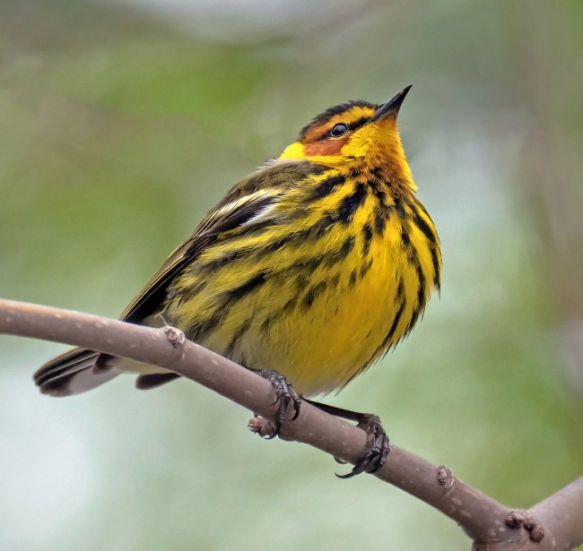
Cape May Warbler (Setophaga tigrina)
This report is in partnership with